
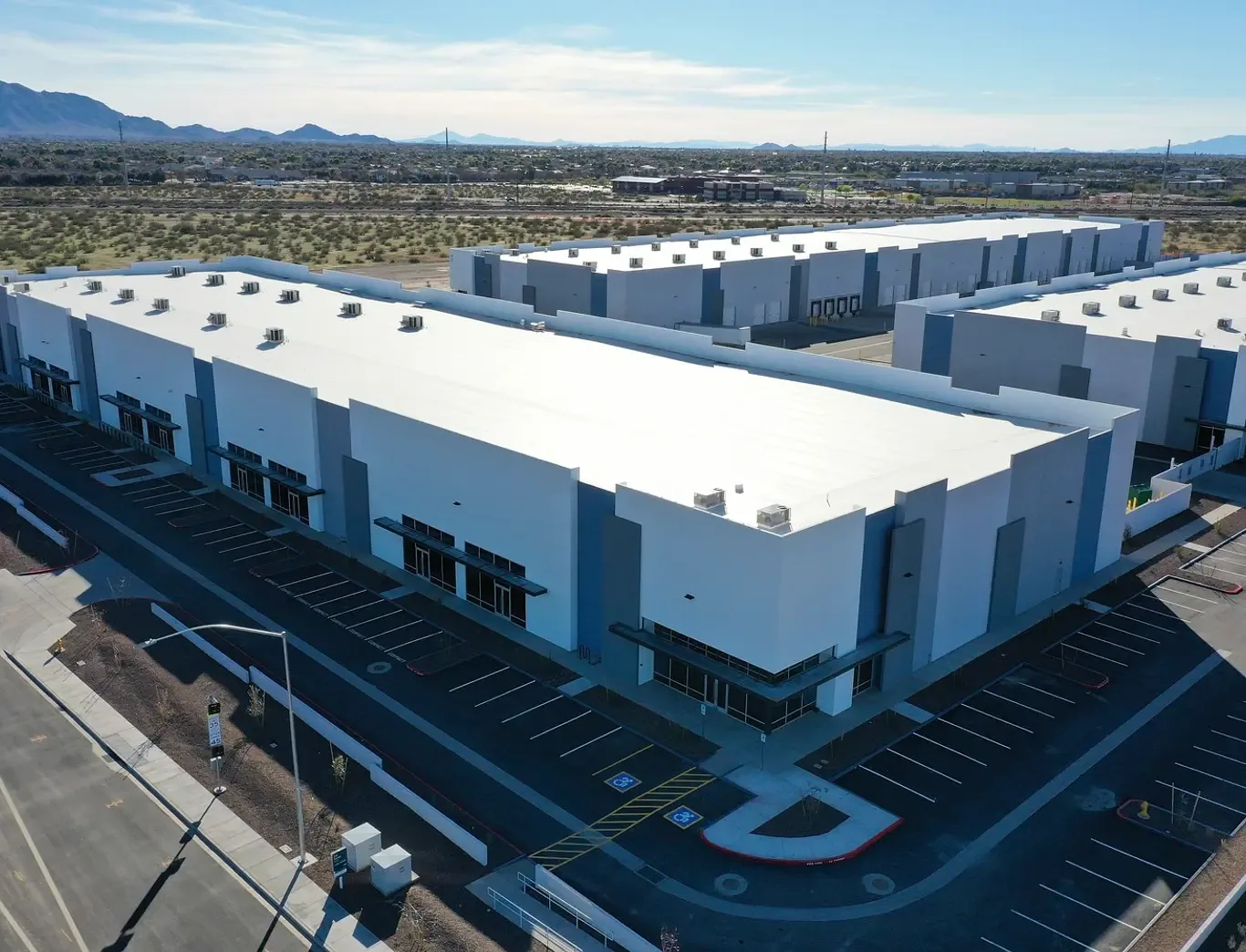
A distribution building near the Surprise Railplex may have roof areas that are difficult to view from a normal walking route. Drone imaging can capture a broad surface, perimeter, and equipment layout without asking a crew to cross every section. It is a visual tool, not a substitute for checking a seam, drain, or flashing by hand. We plan the flight around safe access and site operations, review the images against the roof plan, and identify which locations need a closer inspection or repair scope.
Choose the view before takeoff
We start with the question the owner needs answered. The aim might be to map visible debris, locate a damaged edge, compare roof sections after a storm, or document equipment and access routes. A flight plan identifies the boundaries, view angles, and any area that cannot be captured safely. We also confirm permission to operate, site access, nearby people and vehicles, and weather conditions. If wind or rain makes the flight unsafe or the image unreliable, we reschedule rather than treat a poor view as an inspection result.
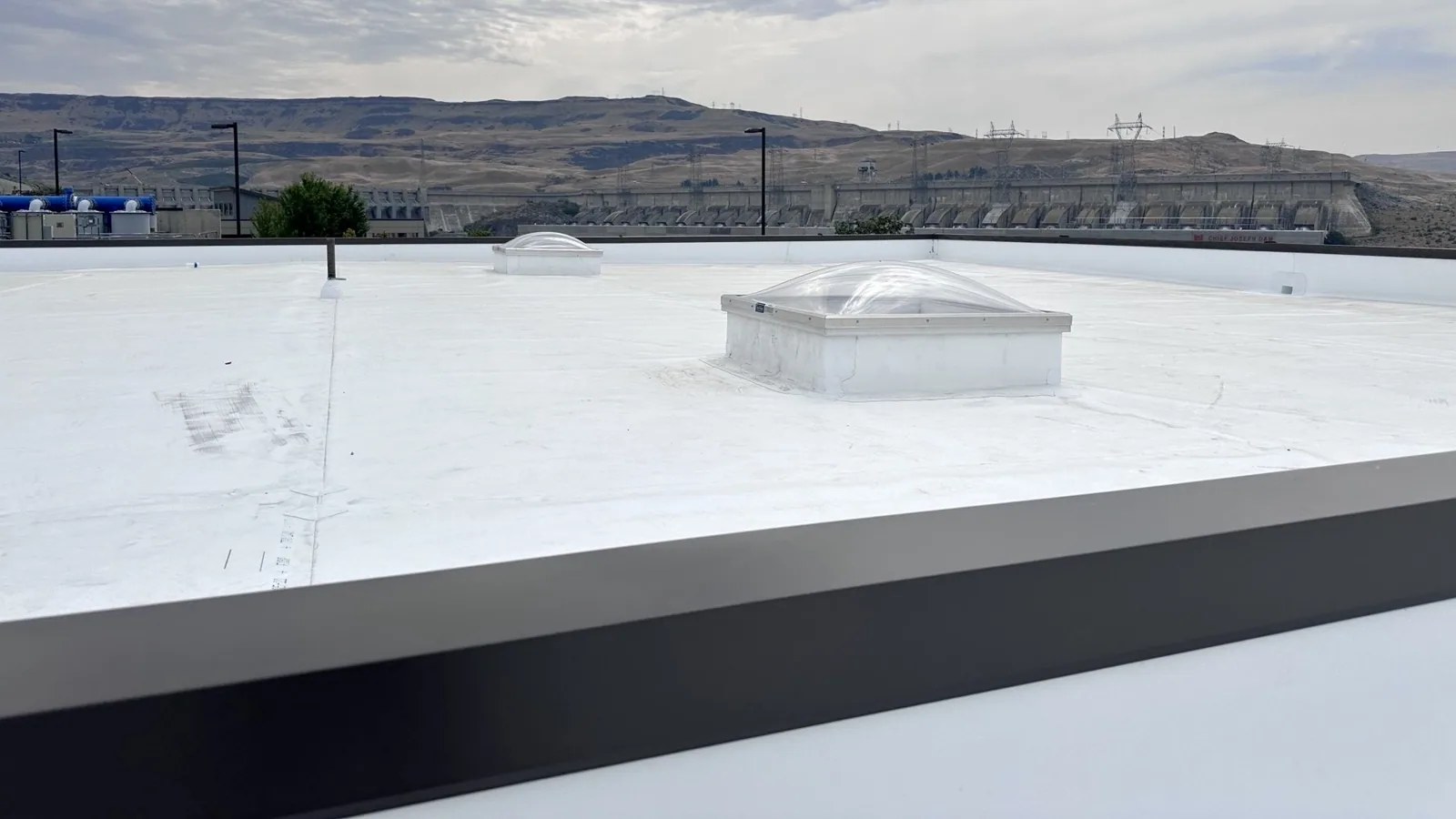
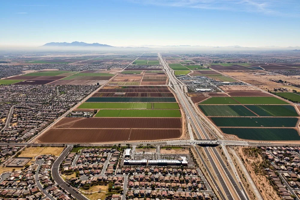
Surprise's Loop 303 corridor includes multiple development areas and access points, and the Railplex planning area includes manufacturing, distribution, and warehouse uses. Those broad property types can have large roof footprints, but each roof layout differs. Before flying, we mark skylights, edges, rooftop units, and any restricted area shown on available plans. The crew can then capture the intended surface without confusing a shadow, reflection, or equipment obstruction with a membrane defect.
Read the image with the roof plan
Images are most useful when each frame has a location, direction, and date. We organize the set by roof section, then compare visible features with the plan and known leak locations. A drone view can show surface damage, standing debris, displaced components, or a drain area that merits a walk. It cannot tell us how much moisture is below the membrane, whether a seam is bonded, or whether insulation has compressed. We note those limits in the findings and select the next field check accordingly.
At a building near Surprise City Center, an image can help a property team coordinate roof access around several active uses. At a distribution site, the same overhead view may help align a roof section with loading and equipment zones. Those views help plan access, while a hands-on check establishes the condition of the roof details. We pair imagery with a hands-on roof inspection for seams, flashings, edges, and drainage details that a camera cannot check at close range.
When heat and storms change the view
High sun can create glare and strong roof-surface contrast, so flight timing and camera angle matter. Phoenix Sky Harbor's July normal is a metro benchmark rather than a Surprise roof measurement, but the region's summer heat is a reason to plan for equipment handling and image conditions. We do not use a warm or bright image to infer a roof defect by itself. The image is compared with visible material, roof records, and a field observation before a repair is recommended.
Monsoon storms in the Phoenix area can bring damaging winds and heavy rain. After a storm, imagery may show a displaced edge component or debris, but an in-person review determines whether the attachment, flashing, or membrane has failed. The time of flight also matters: a roof surface may still be wet or unsafe. We can document the visible area after conditions settle, then prioritize a safe ground or roof walk where active water entry is suspected.
Turn a frame into a field check
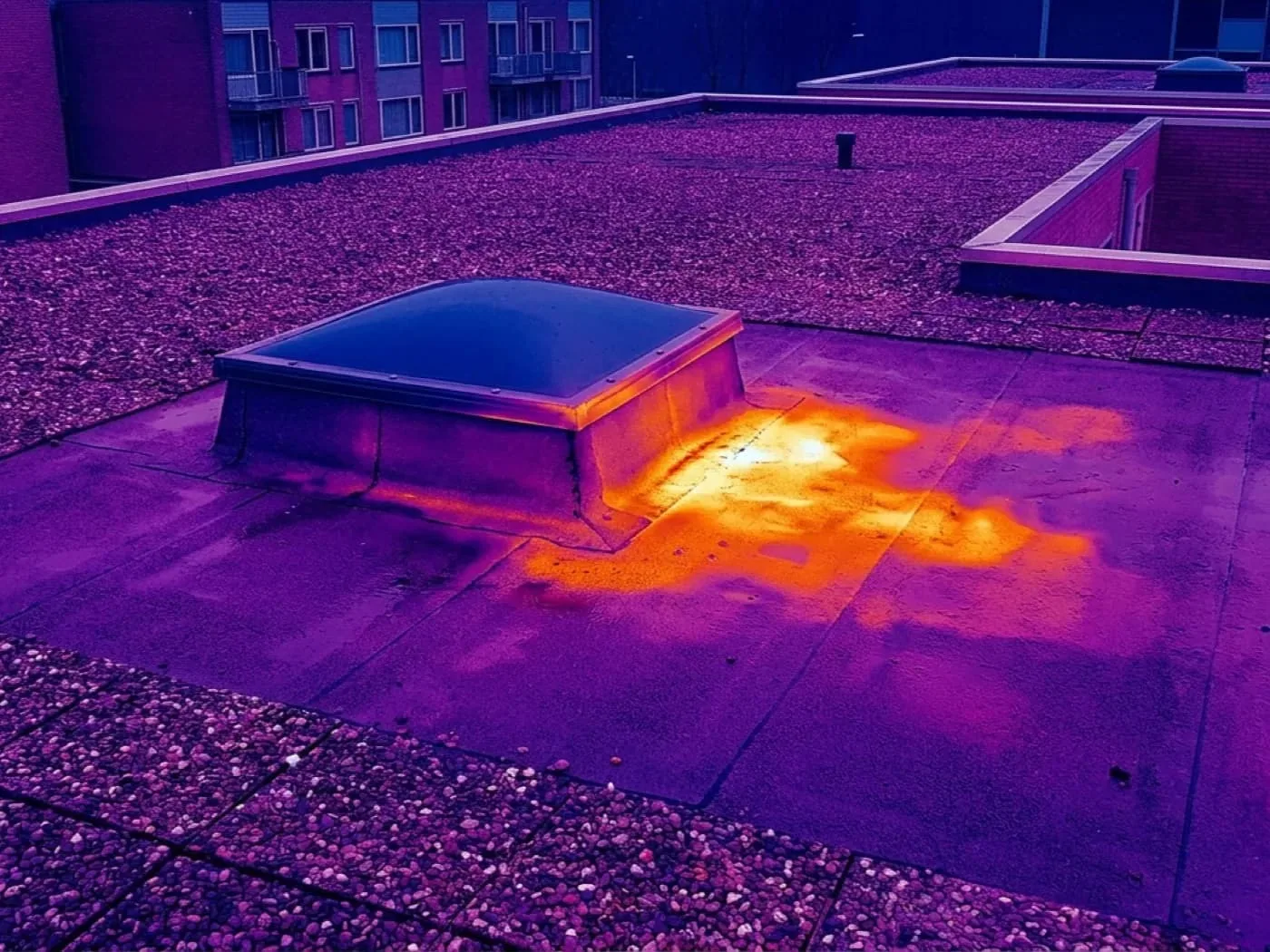
We label each concern with its image reference and roof-plan location, then list the details that need a hands-on check. A dark patch might be shadow or a prior repair. A bright area can reflect a surface change without showing whether the membrane is sound. We check the edge or seam directly, look for movement and bond failure, and photograph the detail at close range. If moisture is suspected below the surface, an infrared moisture survey can help identify locations for test cuts, but the method and conditions need to fit the roof.
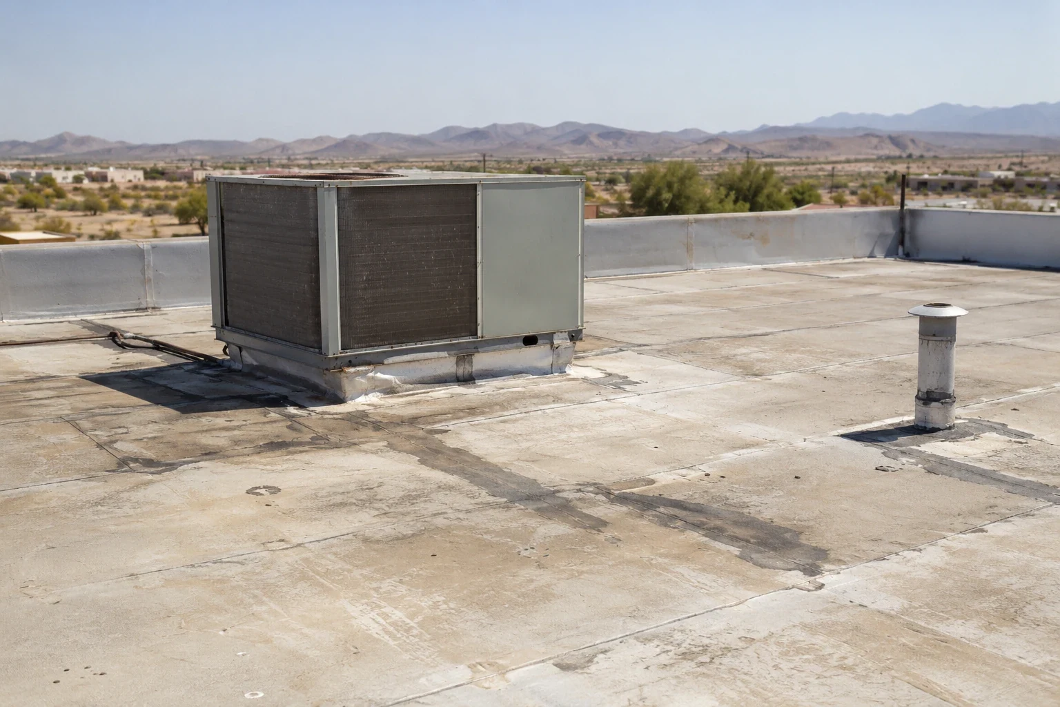
When a visible issue is confirmed, the owner can review a repair scope with photos and a marked boundary. For a warehouse or flex building, roof planning for warehouse operations can help coordinate loading routes and equipment access. We keep the image record tied to the inspection so later visits can compare the same zone rather than rely on an unlabeled folder of aerial photos.
Keep the site and crew coordinated
Drone inspection still needs a site plan. We confirm where the operator can stand, who controls access, what areas need to remain clear, and whether vehicles or tenants will move through the flight zone. If the facility is active, the flight window should avoid deliveries and roof work below. We also confirm that a drone can be used at the site and that any required permissions have been addressed. If those conditions are not met, a hands-on inspection or other approved access method may be more useful.
Surprise's Railplex is a multi-property industrial area with freight-oriented development. An inspection plan there should identify the exact roof being reviewed without treating the whole area as one property. We coordinate the operator and facility lead, keep people clear of the flight path, and secure imagery for the owner. The same process applies near the Loop 303 corridor, where commercial properties may have different access rules and traffic patterns.
Give the images a useful next step
The closeout can include a labeled image set, roof-plan references, a short list of visible observations, and the field checks recommended next. We separate an image observation from a confirmed condition, then identify what access or testing would resolve the question. That way a manager can share a specific roof area with the general contractor, facilities team, or insurer without overstating what the camera established.
If the goal is documentation after a storm, we can pair the flight record with a roof condition report and any needed repair photos. If the owner is reviewing a recurring issue, the roof membrane type informs the hands-on check that follows. We can walk through the findings with the project lead, agree on the areas that need roof access, and prepare a written scope for the repair or follow-up survey.
Commercial Roofing Questions
Can drone photos identify a roof leak?
They can show visible conditions and help locate an area for inspection, but they cannot trace water beneath a membrane or confirm an open seam from every angle. We compare the image with the interior leak location and roof plan, then check likely details by hand. The report distinguishes what the camera shows from what the field inspection confirms.
When is an aerial inspection more useful than walking the roof?
Aerial imagery can help document a large footprint, map equipment and access, or record a hard-to-reach section. A hands-on walk is still needed for seam bond, flashing attachment, drain condition, and surface details. We choose the method based on the question, access, and safety conditions at the property.
Can the drone fly during monsoon season?
Only when the actual weather and site conditions make the flight safe and the images useful. Wind, rain, lightning risk, and wet roof surfaces can change the plan. We reschedule or use another inspection method when a flight would put people or equipment at risk or produce unreliable imagery.
Will the images show moisture inside the roof?
Standard aerial images show the surface, not moisture inside the assembly. If moisture is suspected, we can plan a separate infrared survey or test cut where appropriate. The finding should be confirmed by a method that reaches the question being asked, with its location marked on the roof plan.
What do we receive after the flight?
You can receive organized, labeled images tied to roof sections, a summary of visible observations, and a list of areas needing a hands-on field check. If requested, we can pair the images with inspection photos and a written condition record. We identify what is observed and what remains uncertain before recommending repair work.
Ready to review the roof scope?
Request a Roof Assessment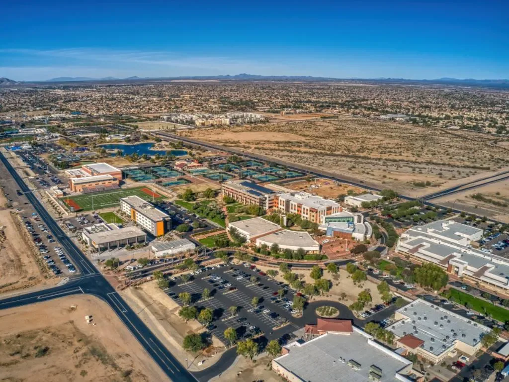
Related Roofing Work
Plan a useful aerial roof review
Share the roof plan, inspection question, site access rules, and any active leak locations. We can determine whether drone imaging fits the site and pair the images with hands-on field check where the roof details require it.